Angkor’s kings: reading an imperial city beyond its famous towers
Cambodia’s great archaeological landscape reveals monarchy through water, sacred architecture and settlement.
A larger subject than one temple
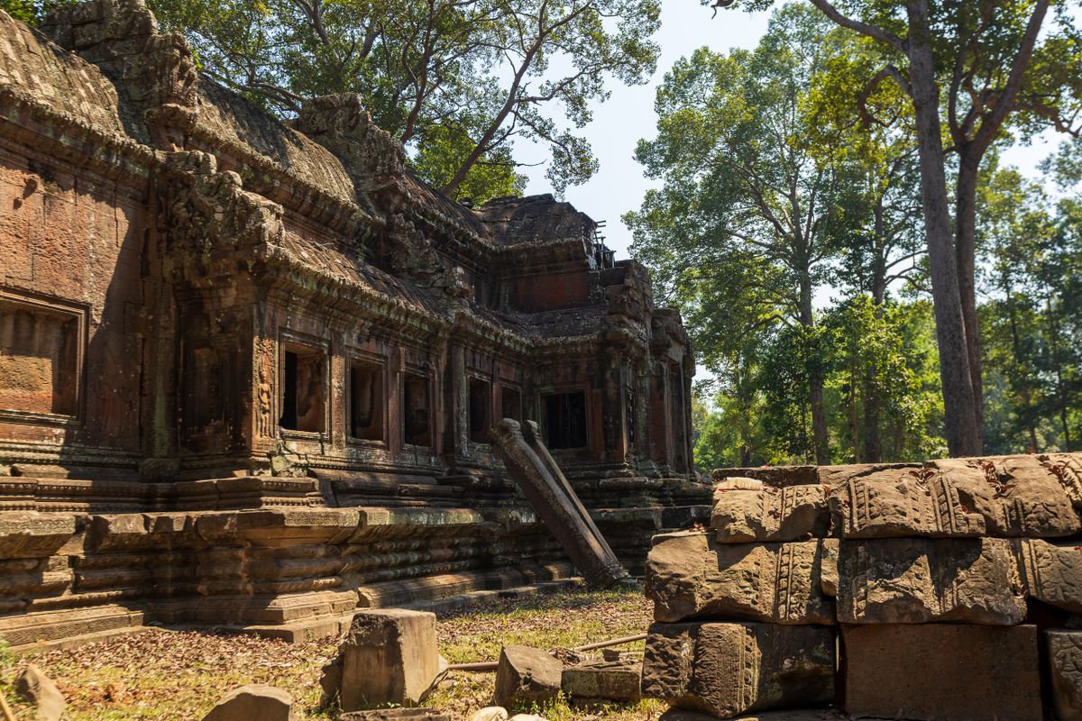
UNESCO’s account of Angkor describes the remains of Khmer imperial capitals spanning the ninth to fifteenth centuries, including temples, hydraulic structures and routes. Angkor Wat and the Bayon are famous landmarks within that much larger landscape. Beginning with the whole site helps avoid a common mistake: treating one highly photographed building as a complete account of a civilization. For readers interested in kings, the broader view shows how royal authority depended on connections among sacred spaces, planning and resources. A map is therefore an important companion to the monumental image. It directs attention to what stood between the temples as well as to the towers themselves.
Water turns royal history into urban history
Reservoirs, canals and related structures invite questions about how a capital supported its inhabitants. These questions connect royal projects with labour, expertise and the demands of settlement. Read the interpretation carefully rather than assuming that every hydraulic feature had only one purpose or that a single king controlled everything directly. Archaeologists can establish relationships through material and landscape evidence, sometimes revising older explanations as research develops. The reader’s task is to retain those qualifications. A city’s impressive scale should prompt curiosity about its systems, not an automatic claim that size proves perfect administration or that every later difficulty had one simple cause.
Sacred architecture has changing histories
A monument may carry different associations across time, and a present-day site can remain meaningful to living communities. Pay attention to the dates, religious context and later uses described by reliable interpretation. This prevents a royal monument from becoming frozen at the moment of its first construction. It also makes differences among buildings more legible. Compare layouts, images and surrounding spaces while checking which ruler or period is actually connected with each. An evocative sculpted face is not permission to identify its subject from appearance alone. Let the label and scholarly discussion establish what can be said and where interpretation remains open.
Build a route around one question
For a cultural visit, choose a theme such as kingship and sacred space or water and settlement, then plan a manageable route using current official ticket and access information. Heat, distances and conservation restrictions require realistic pacing; practical details should come from live visitor guidance rather than an old itinerary. Leave time for a local guide or museum explanation that connects the monuments with Cambodian history. At home, follow the same theme through maps and heritage documentation. Angkor’s royal story becomes more useful when it includes the people, infrastructure and continuing communities around the famous monuments. The reward is an understanding of a capital’s relationships, not merely a collection of tower photographs.
Compare a site plan with a photograph of a single monument. The plan makes connections legible, while the photograph offers detail and scale. Neither replaces the other. Using both helps a reader understand why archaeological interpretation moves between close study of a carved surface and much wider questions about the organization of a capital.
Sources & further reading
Source links support the factual context. Practical examples and suggested workflows are original editorial guidance. Sources checked October 5, 2026.
Spotted something we should correct? Send a correction. Read our editorial policy.